
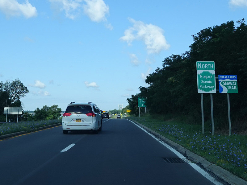
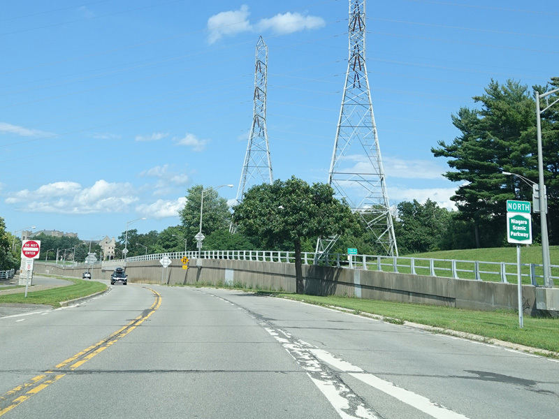
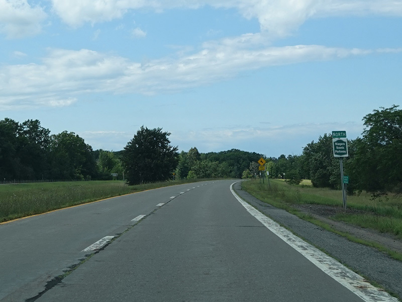
Niagara Scenic Parkway
Northbound Views
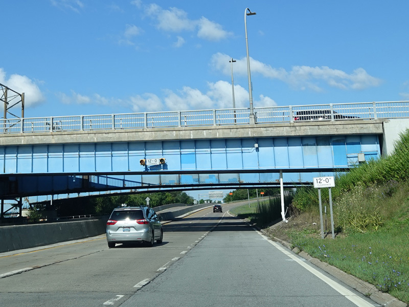
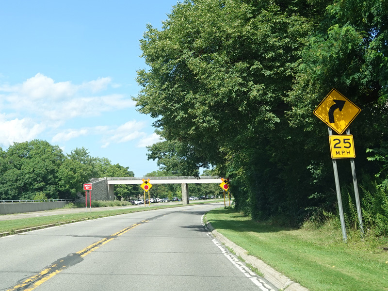
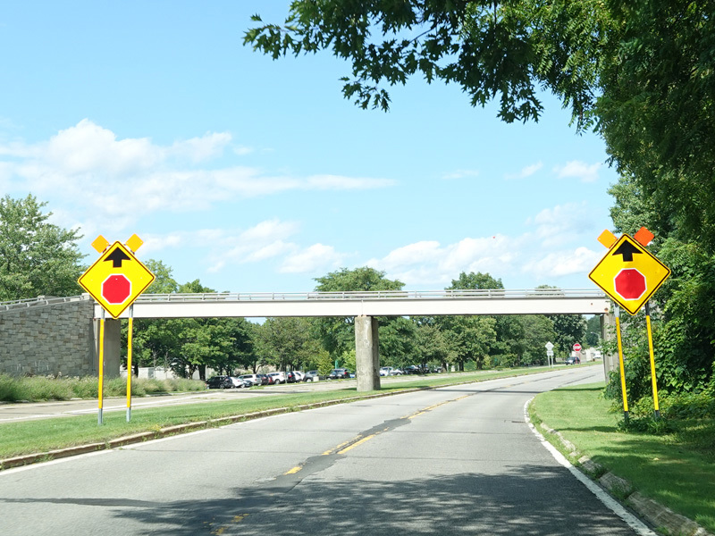
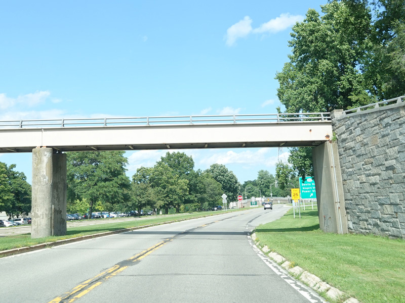
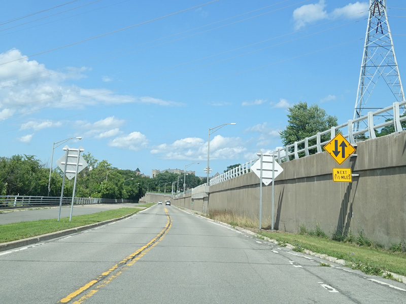
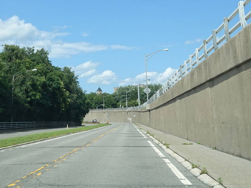
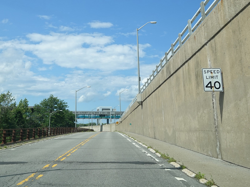
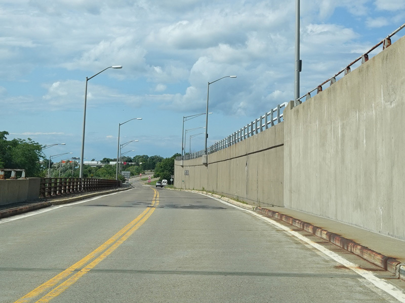
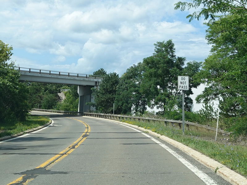
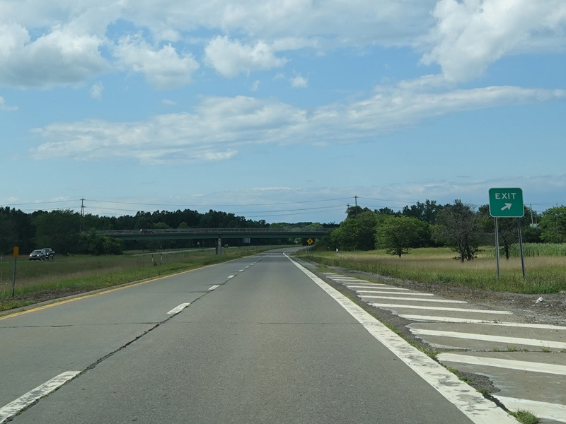
The Niagara Scenic Parkway passes under the Niagara Expressway (I-190).
Photo taken July 2023.
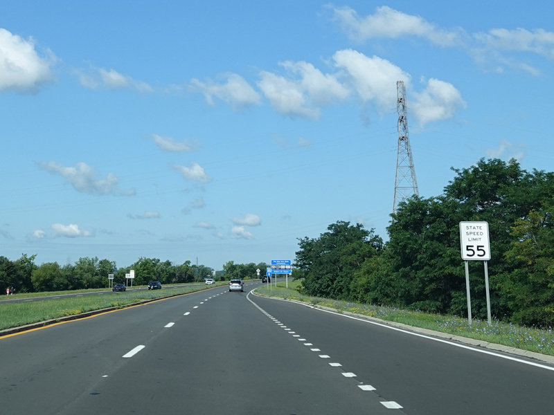
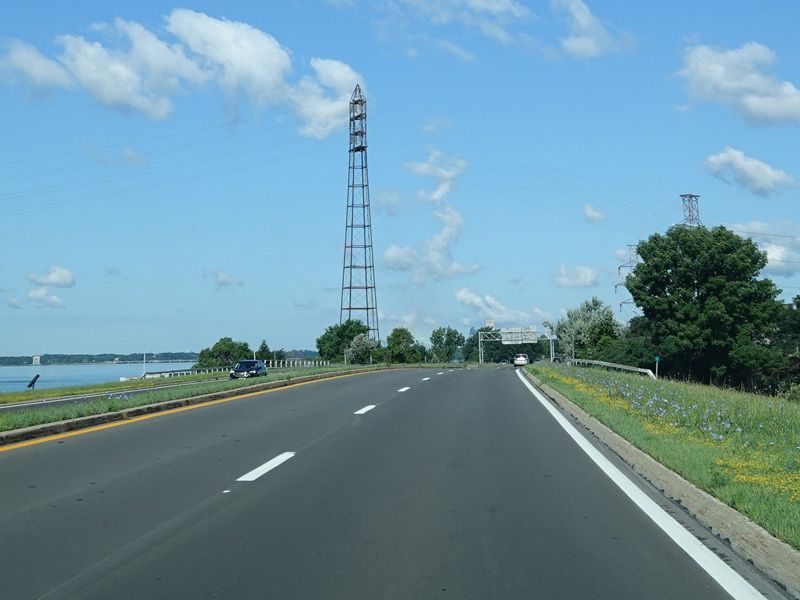
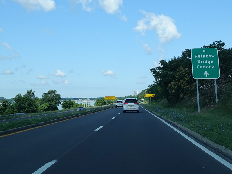
The Niagara Scenic Parkway runs west as a four-lane divided highway. The Niagara River is visible on the left. The land on the other side is Canada.
Photos taken July 2023.
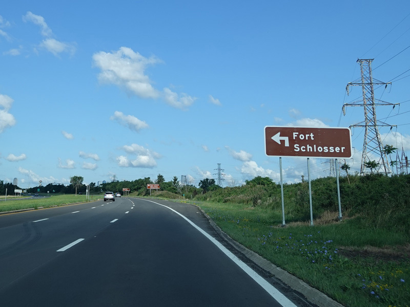
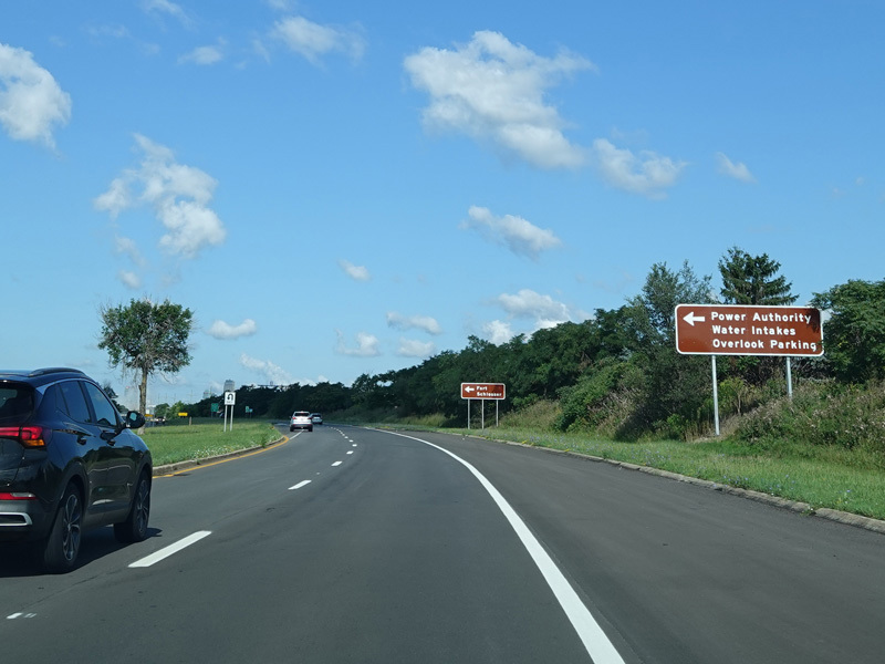
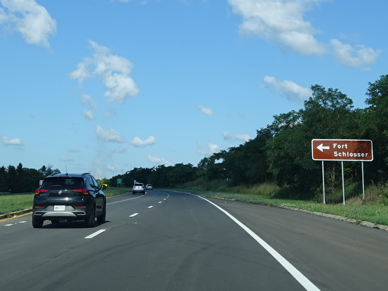
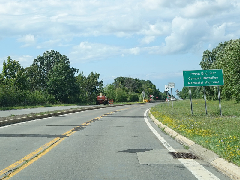
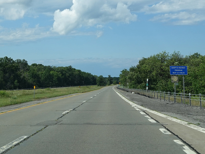
There is a turnaround providing access to Fort Schlosser.
Photos taken July 2023.
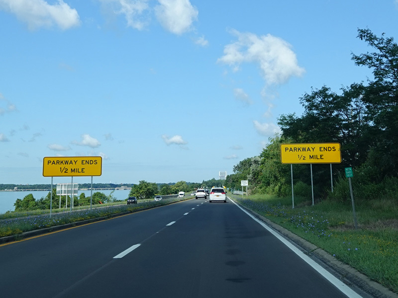
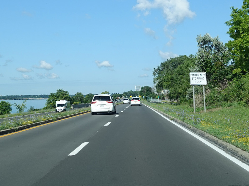
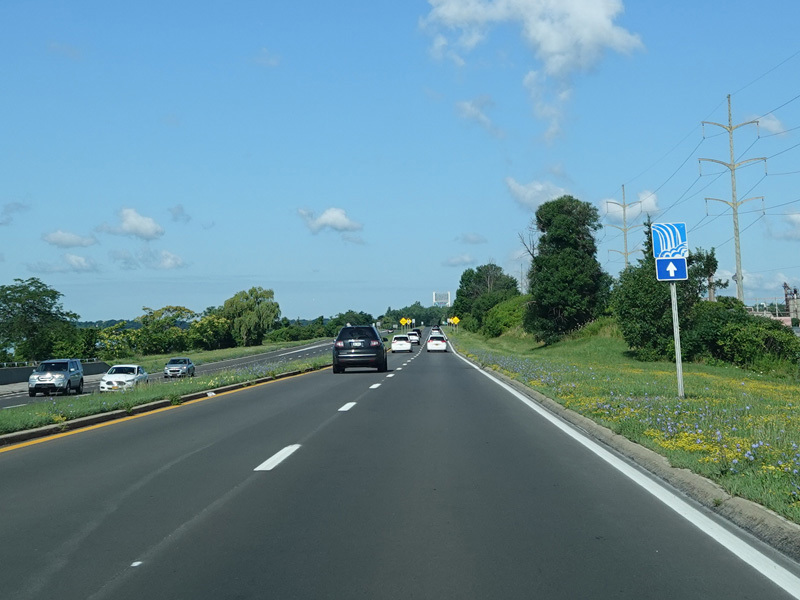
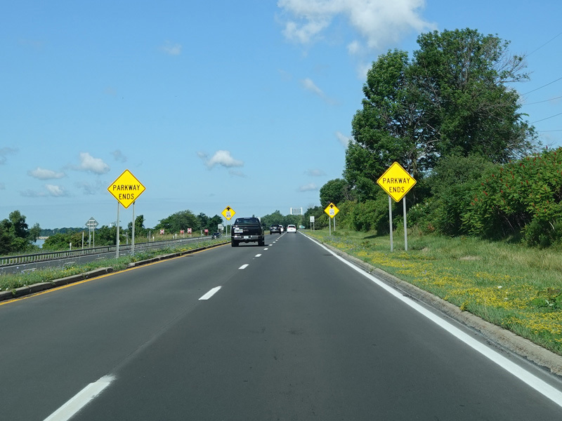
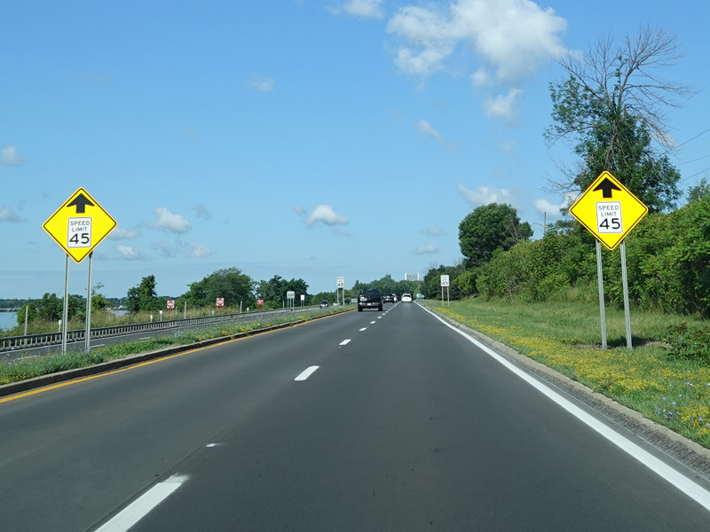
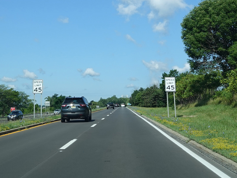
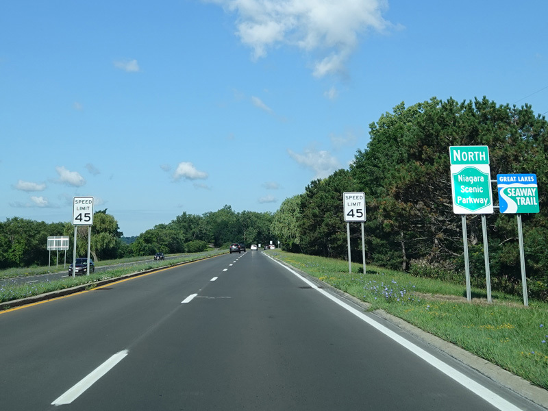
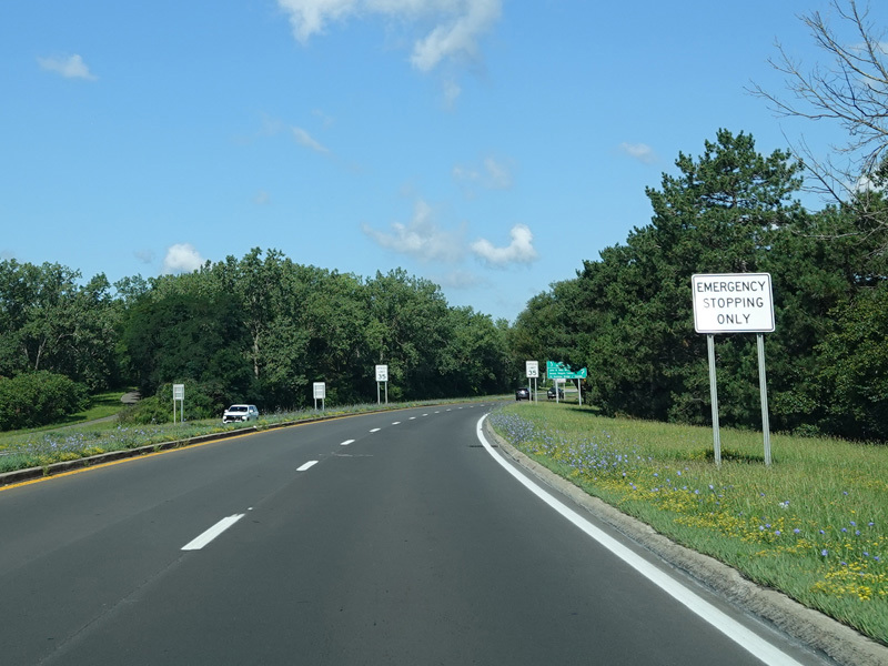
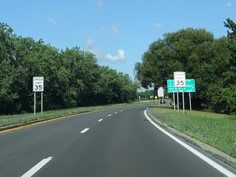
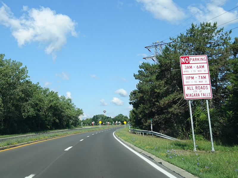
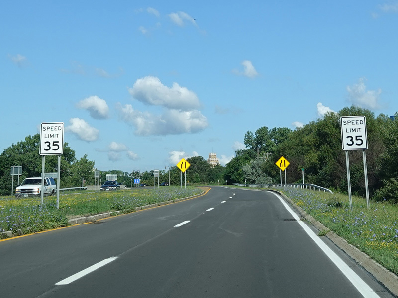
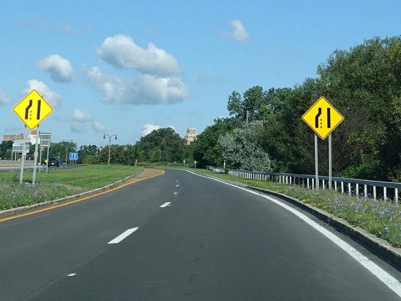
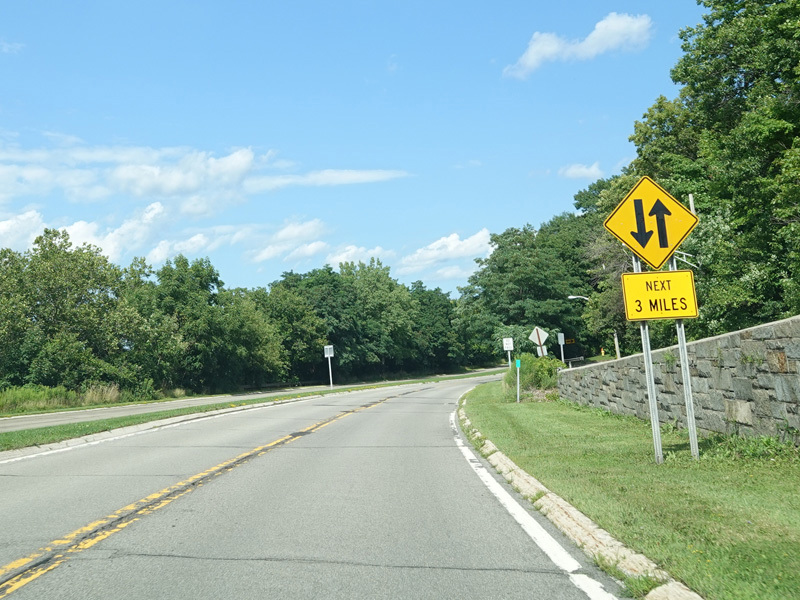
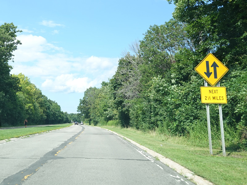
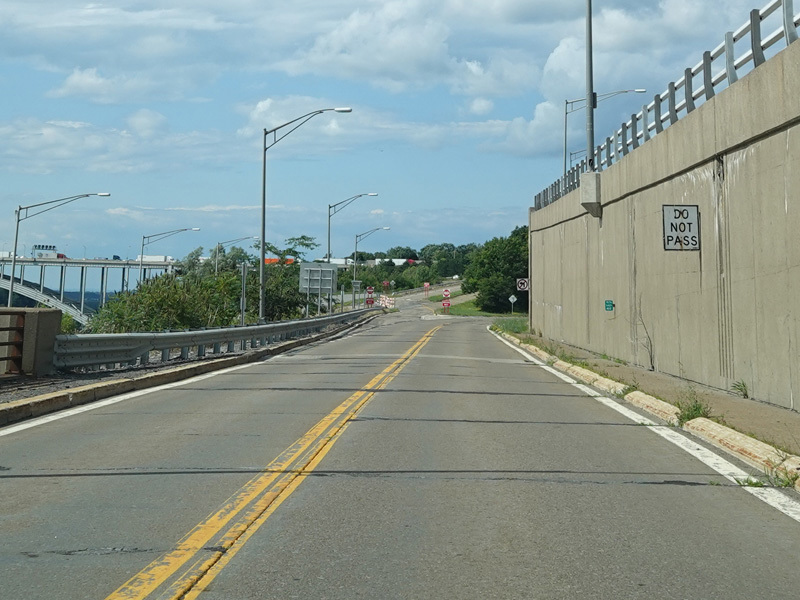
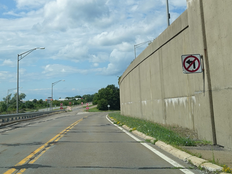
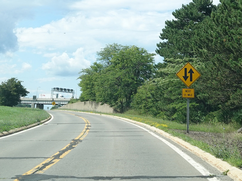
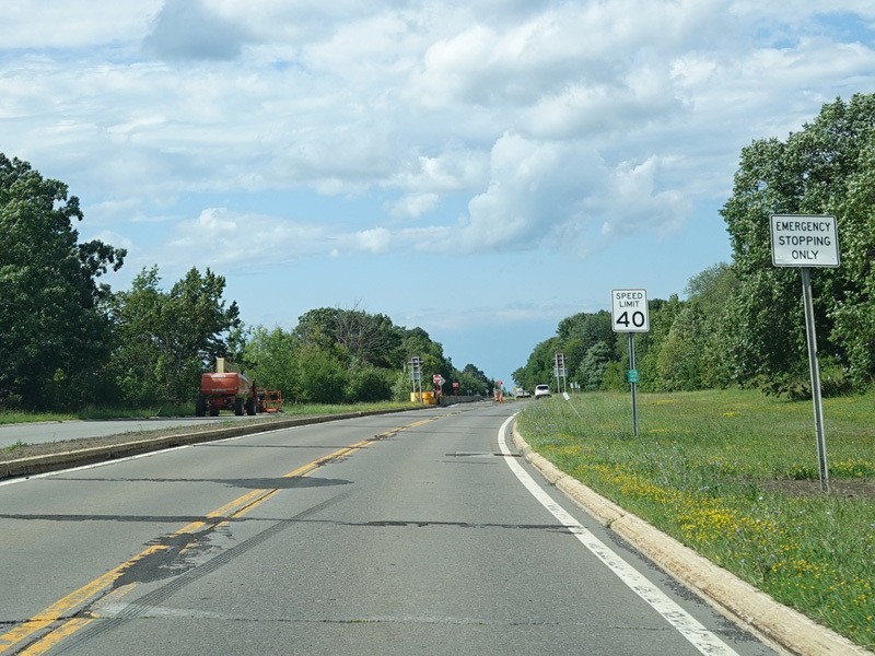
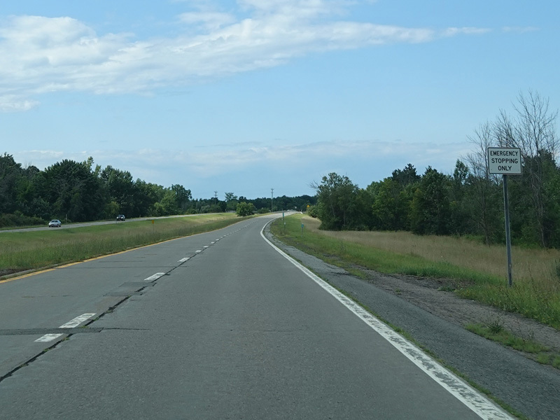
The speed limit drops to 45 MPH and then 35 MPH, and then the parkway narrows down to one northbound lane.
Photos taken July 2023.
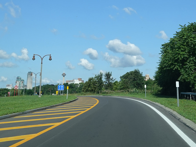
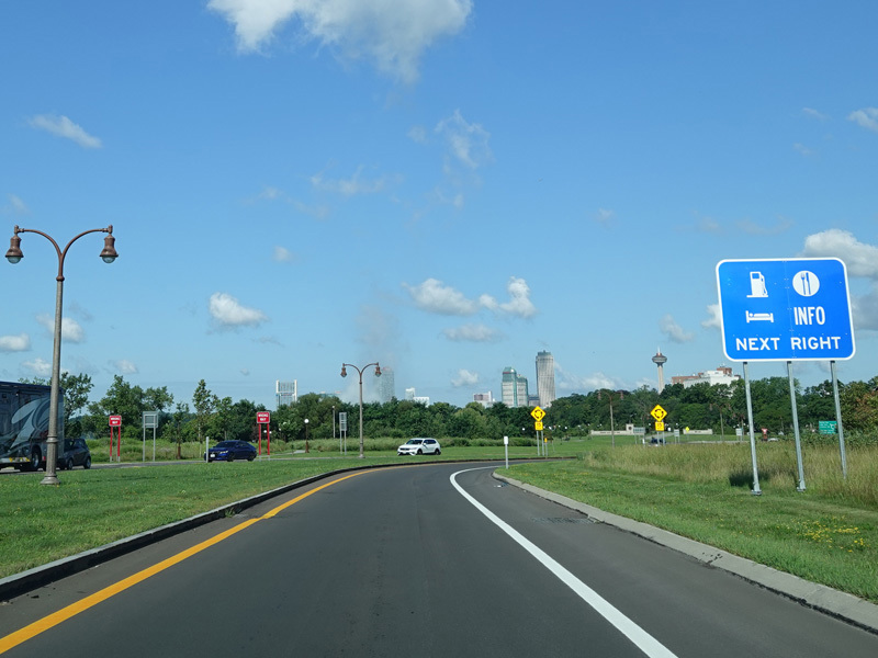
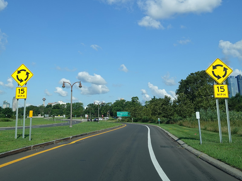
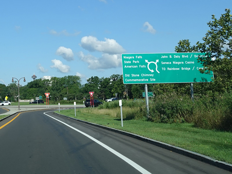
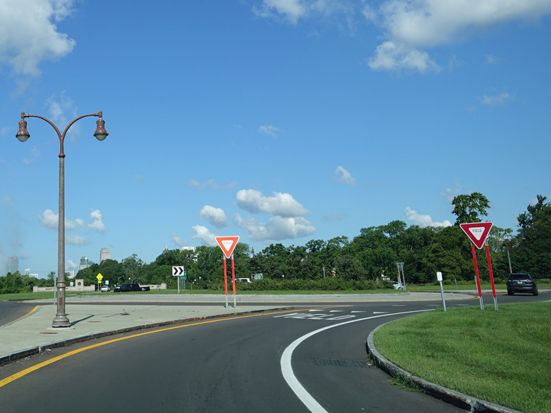
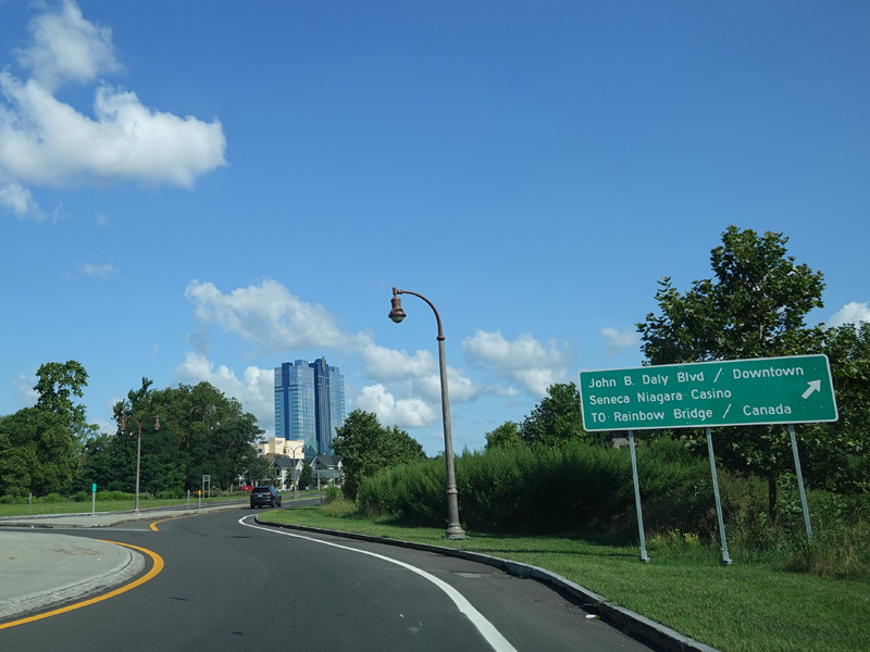
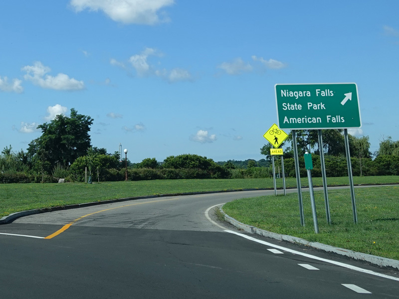
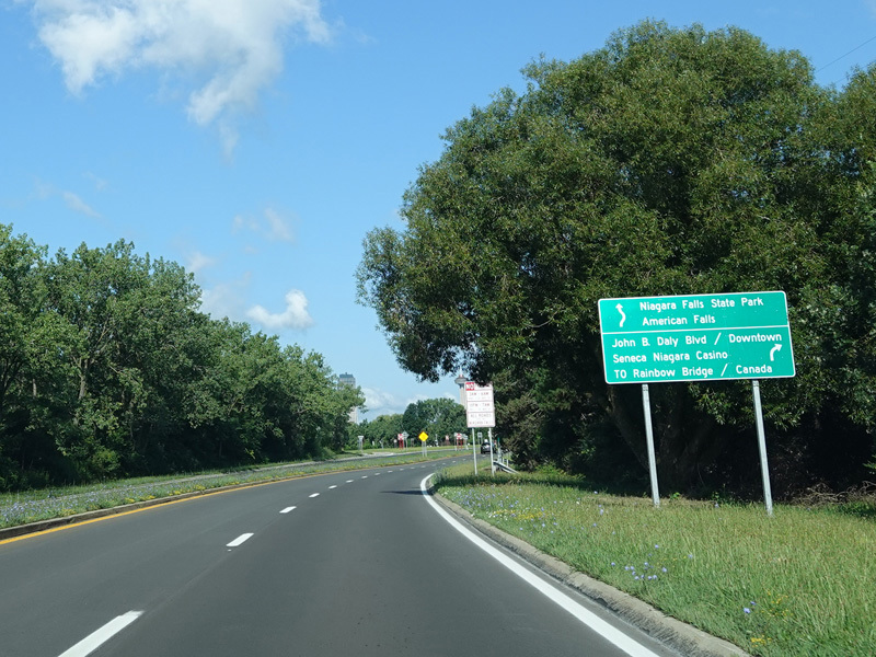
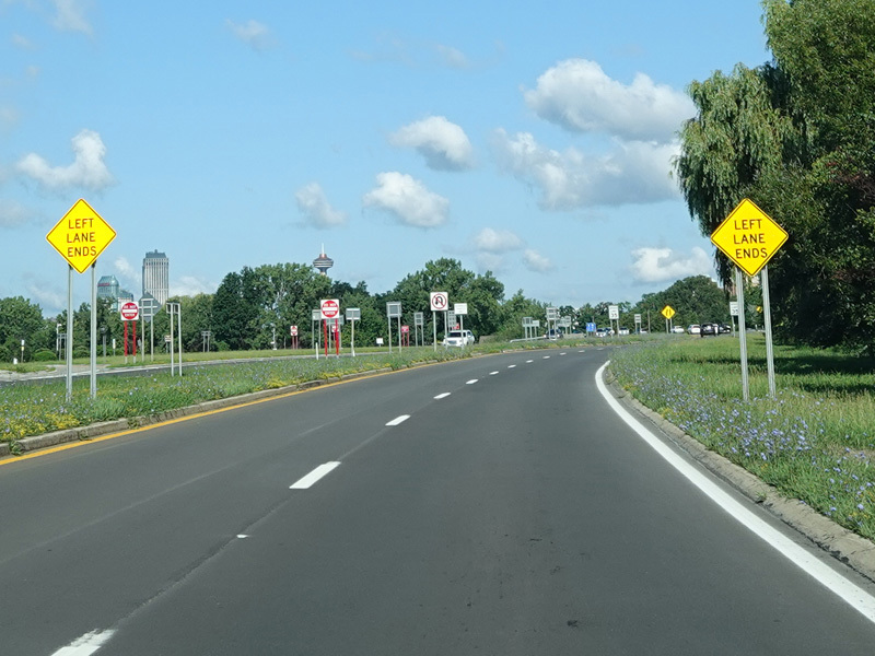
The southern section of the parkway ends at a traffic circle at John B. Daly Boulevard and the entrance to Niagara Falls State Park.
Photos taken July 2023.
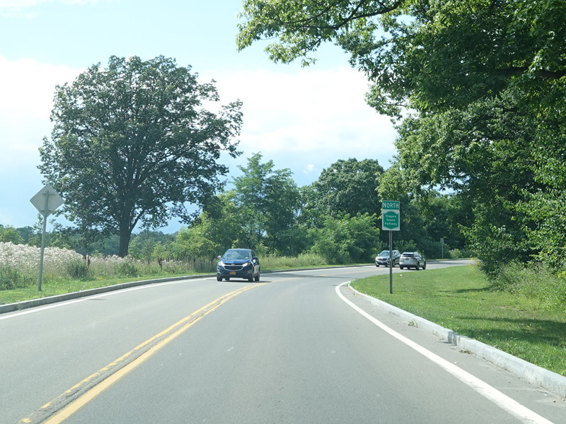
The parkway begins again at Whirlpool Street and Findlay Drive. In this area, it is a two-lane undivided road.
Photos taken July 2023.
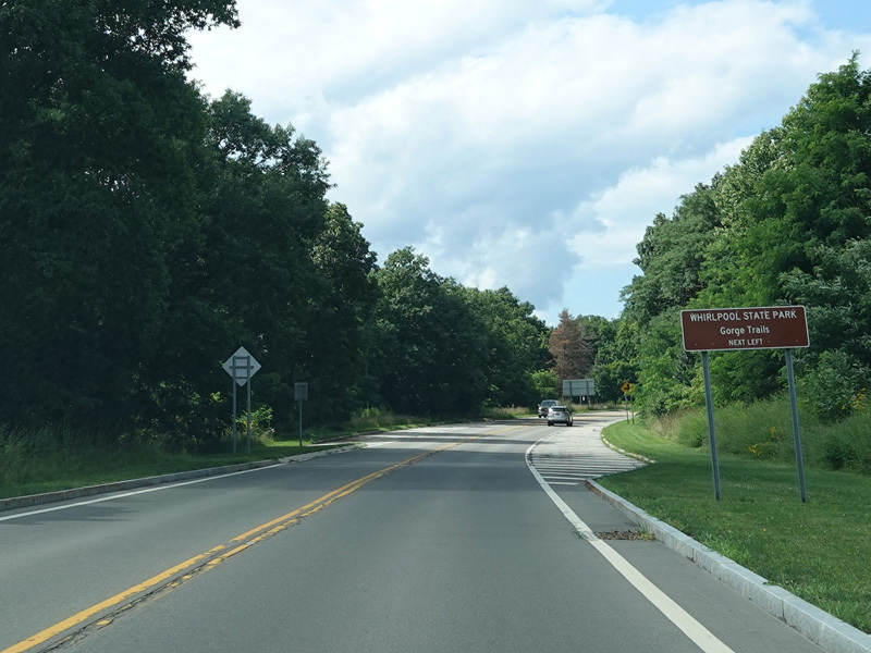
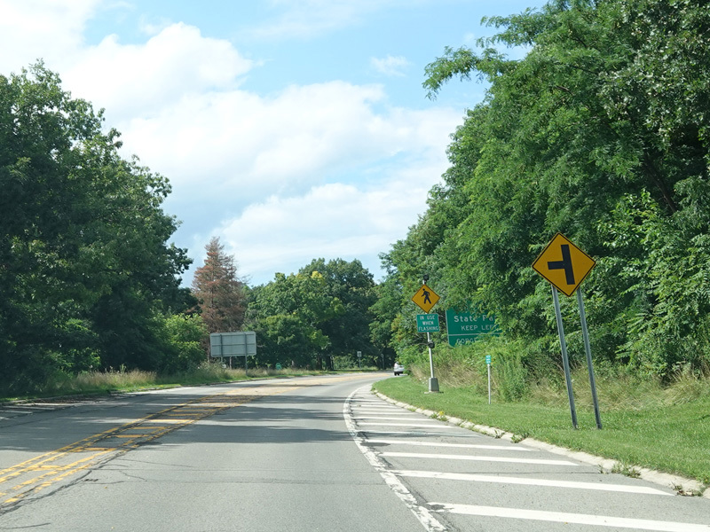
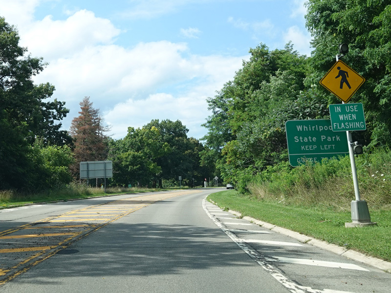
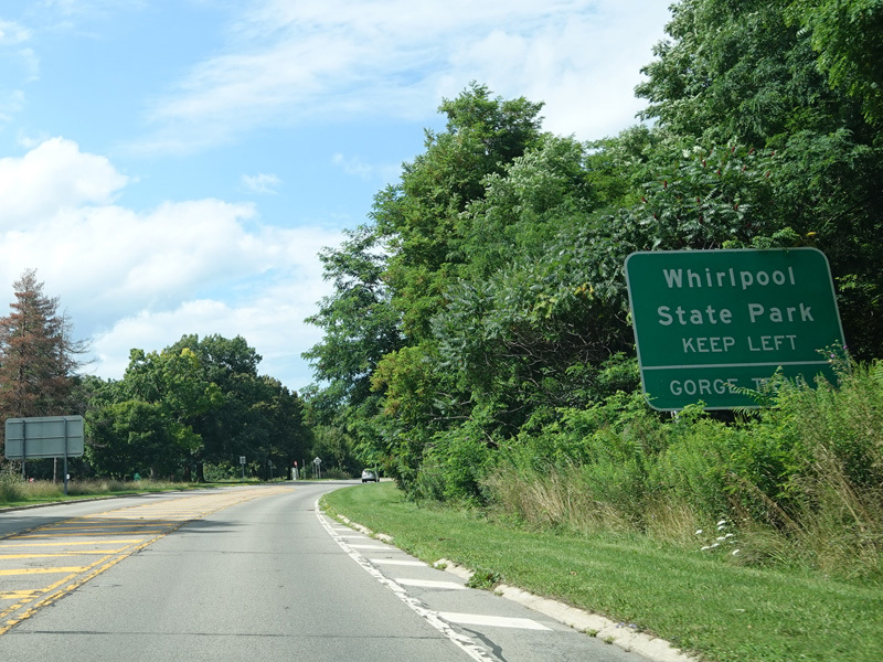
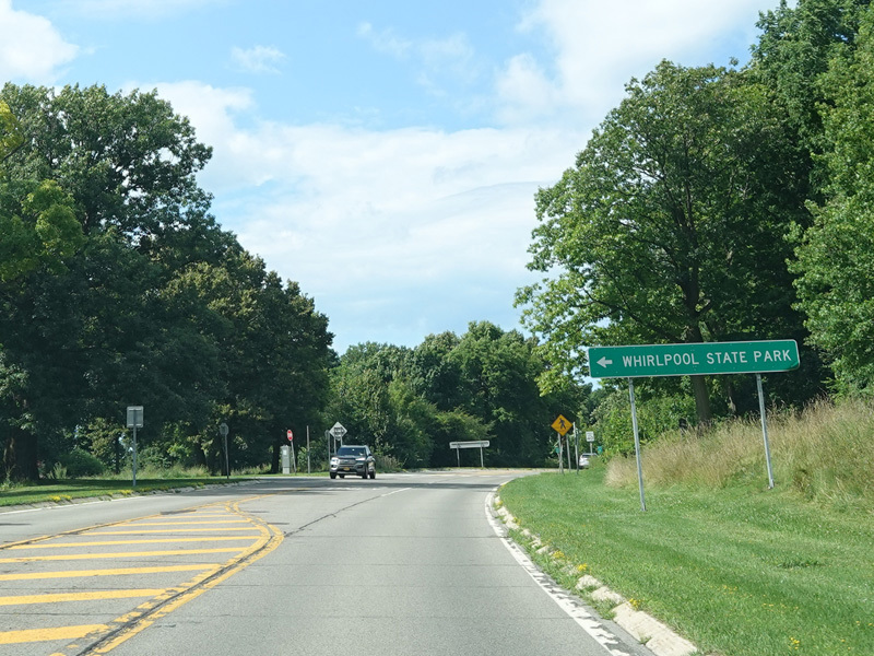
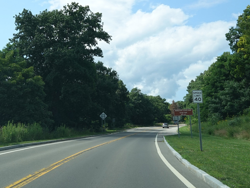
Turn left here for Whirlpool State Park.
Photos taken July 2023.
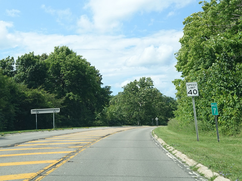
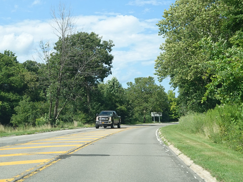
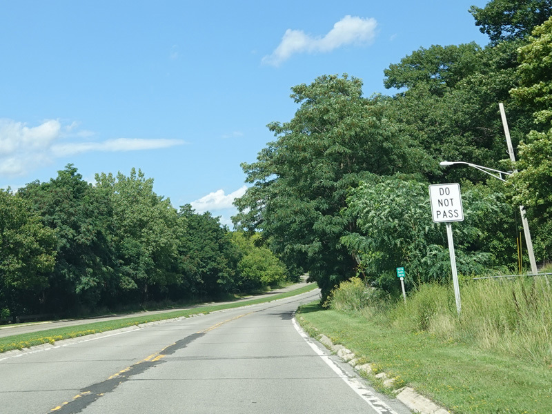
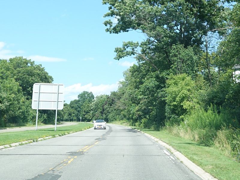
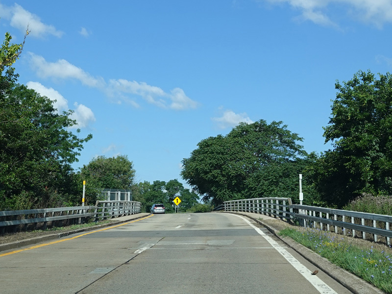
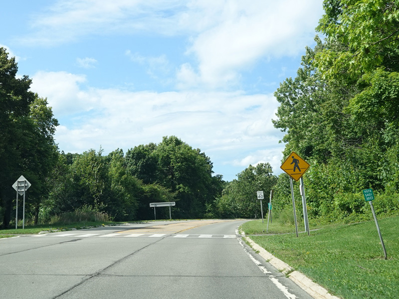
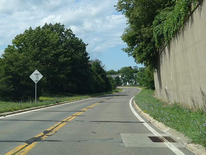
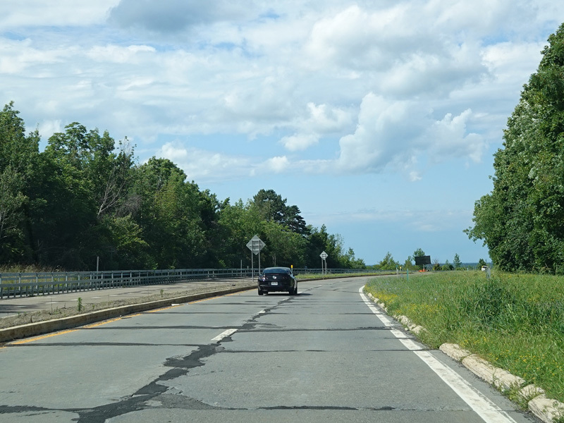
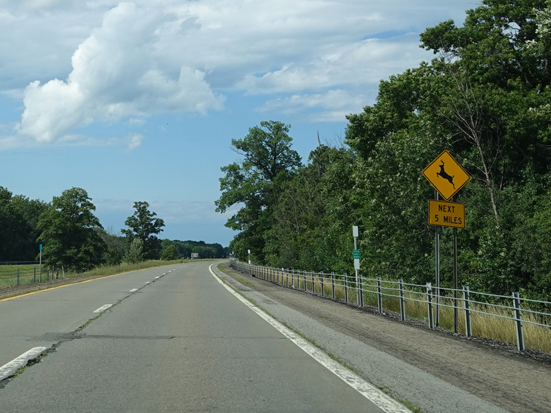
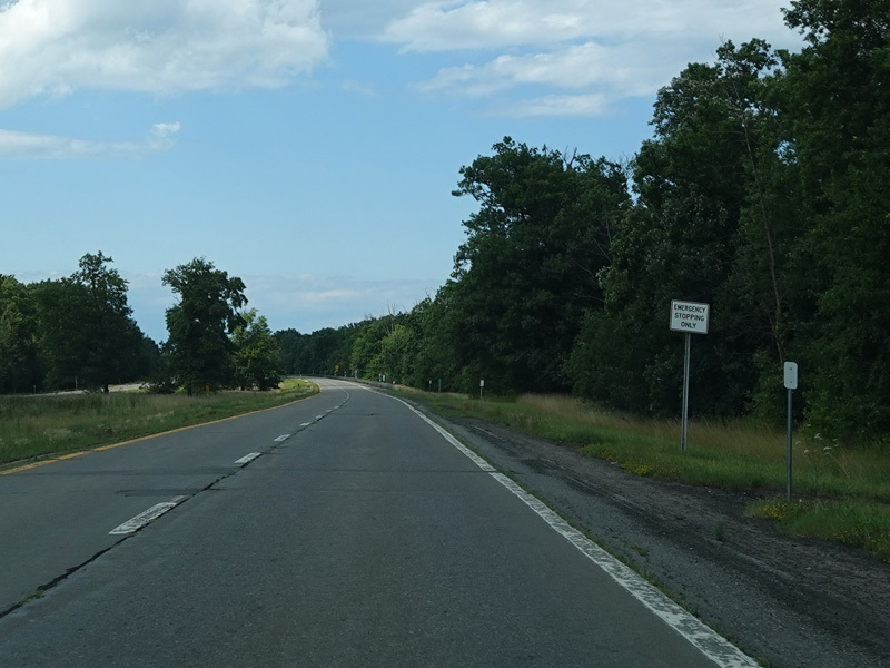
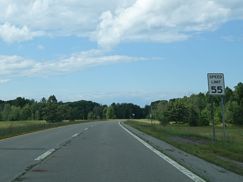
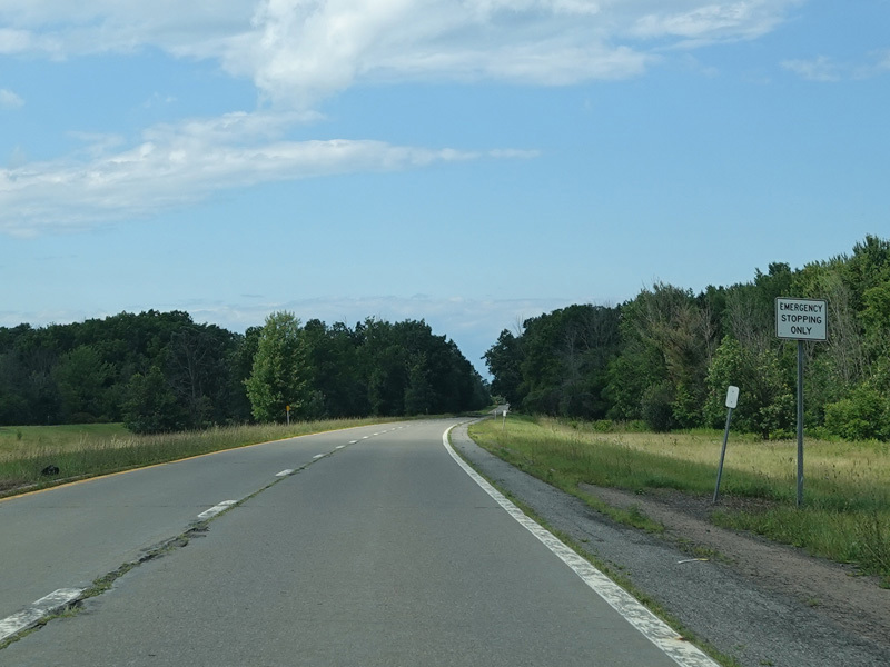
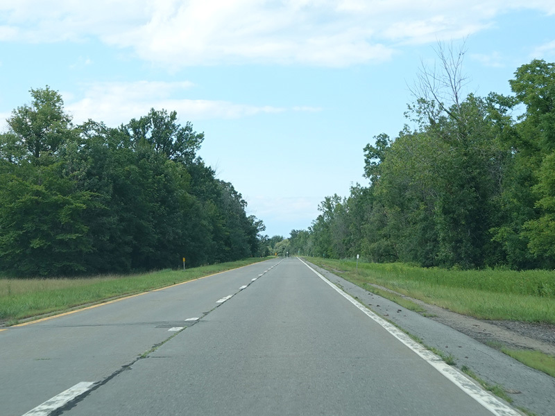
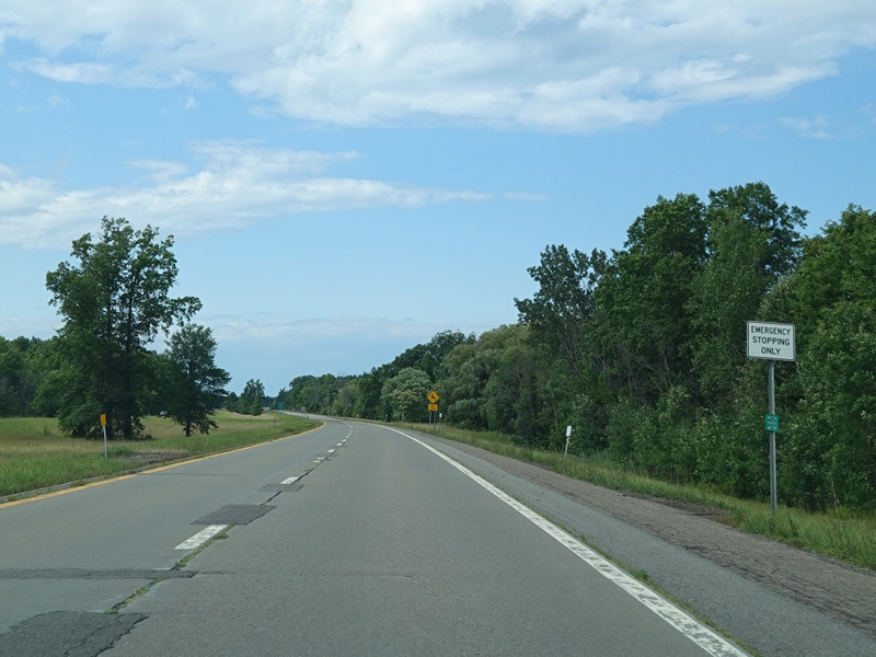
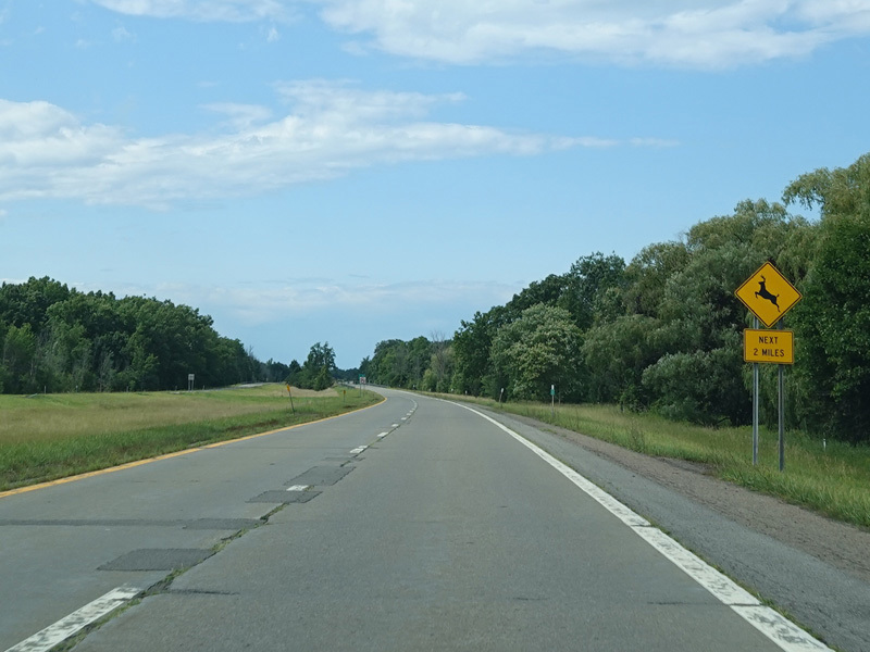
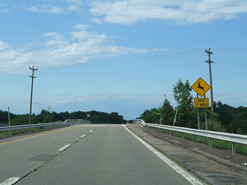
The parkway continues north as a two-lane undivided road.
Photos taken July 2023.
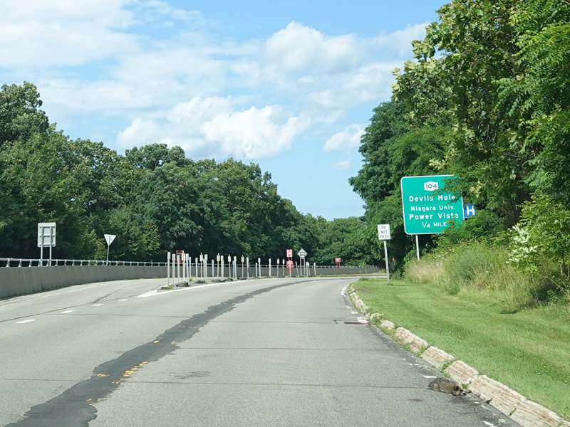

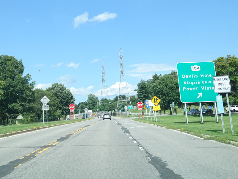
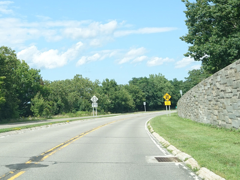
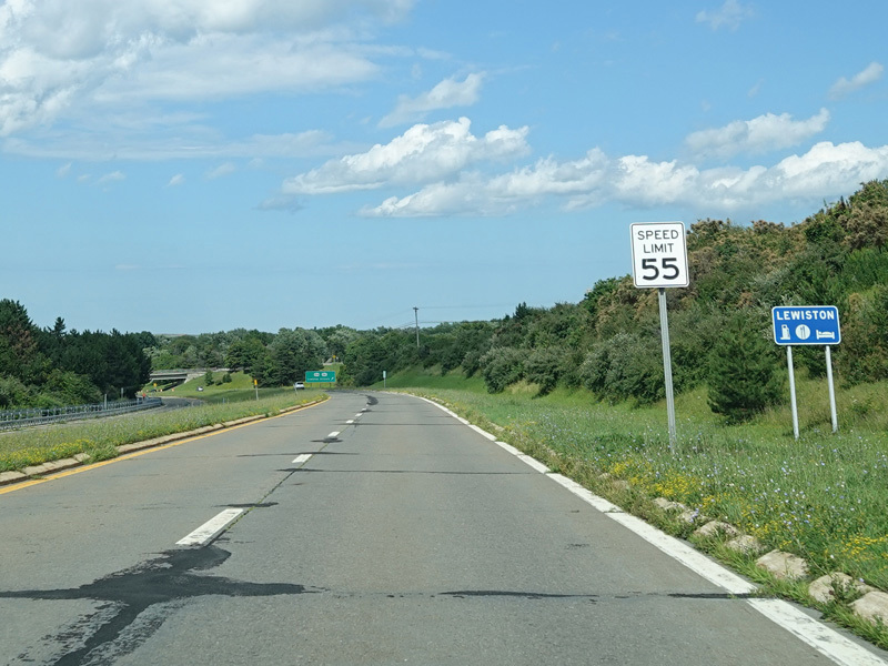
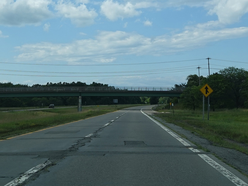
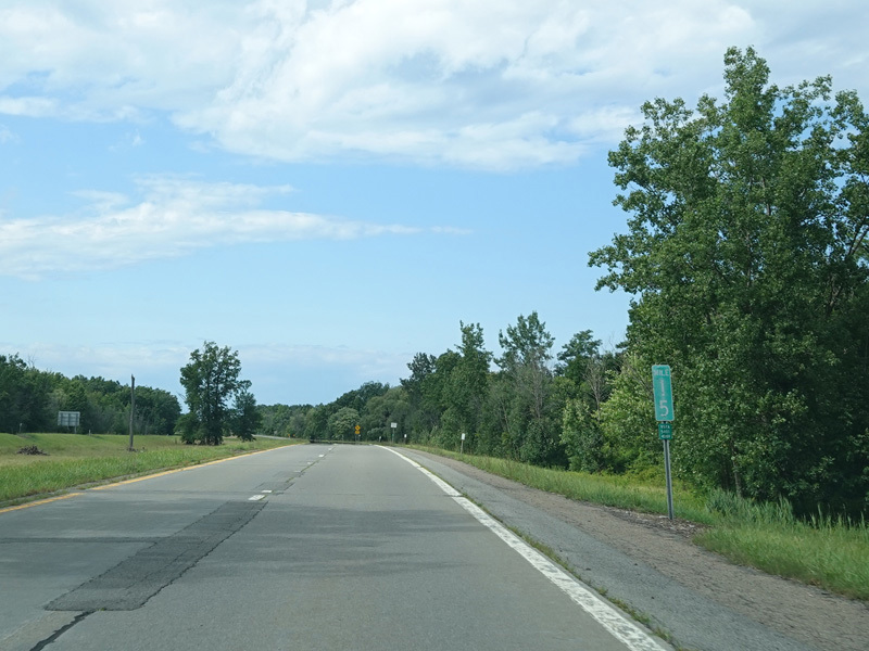
There is an exit involving a stop sign on the parkway for Lewiston Road (NY 104).
Photos taken July 2023.
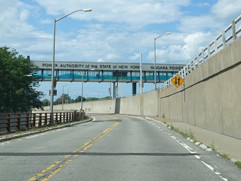
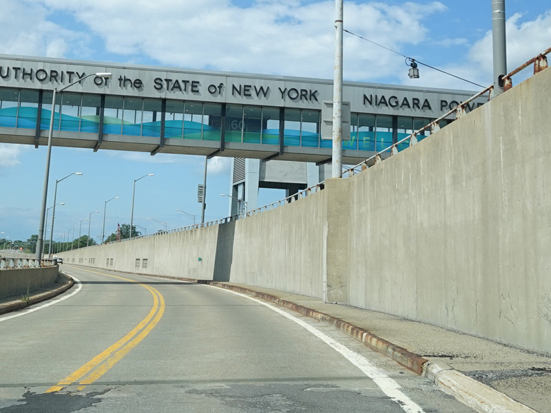
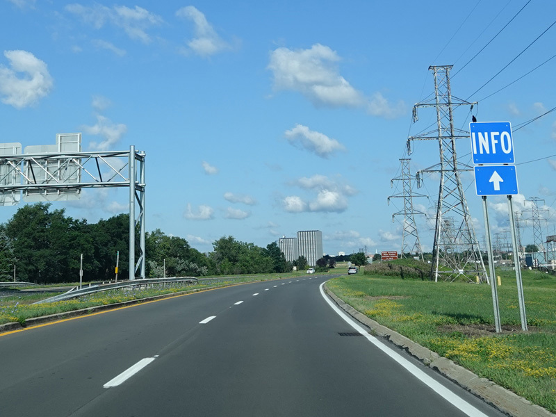
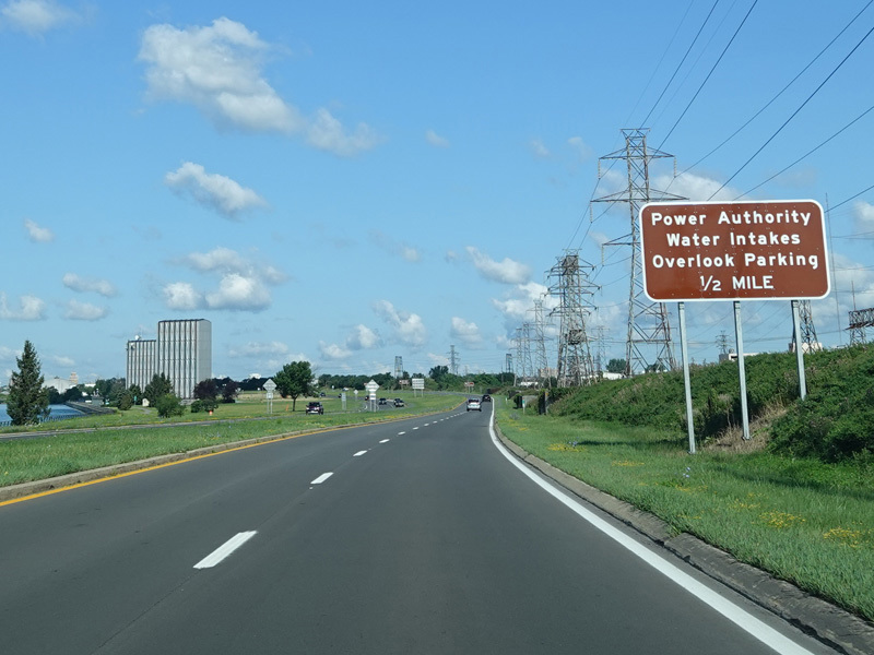
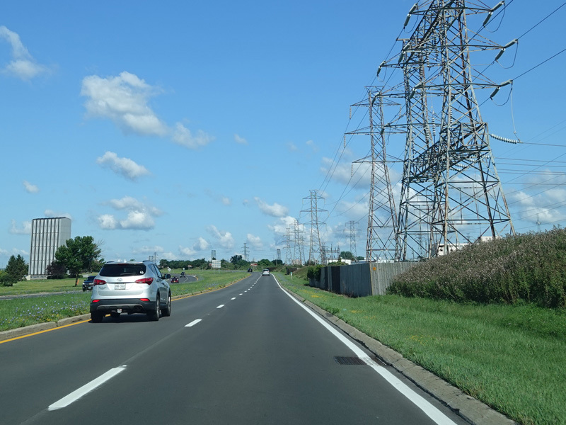
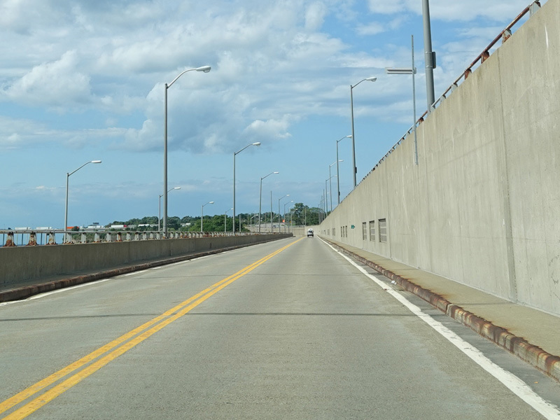
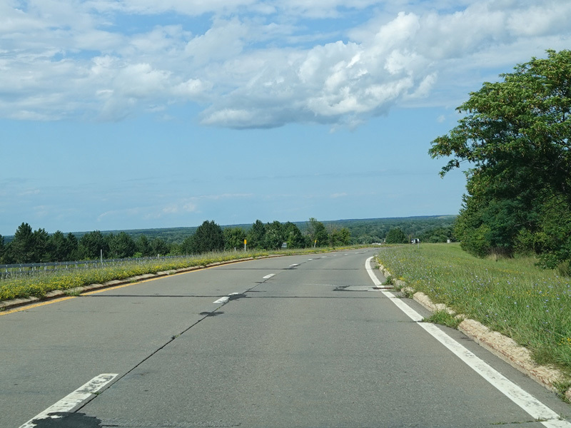
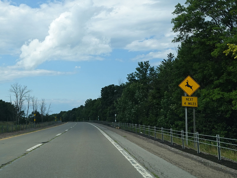
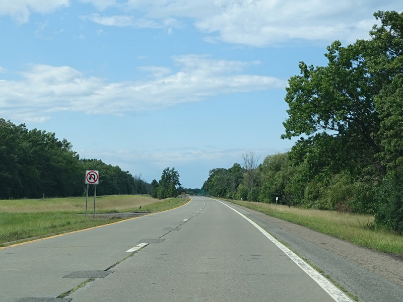
The parkway continues north past the Niagara Power Project, a hydroelectric power plant.
Photos taken July 2023.
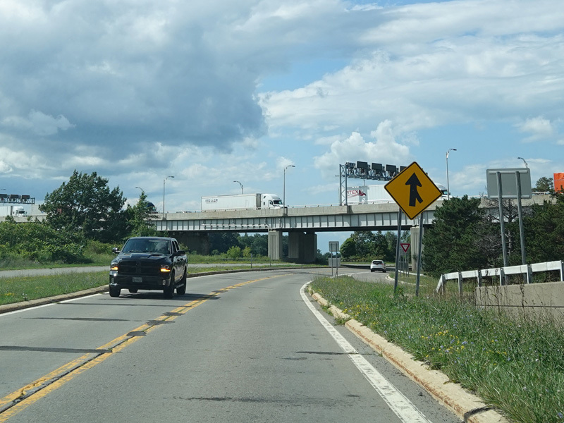
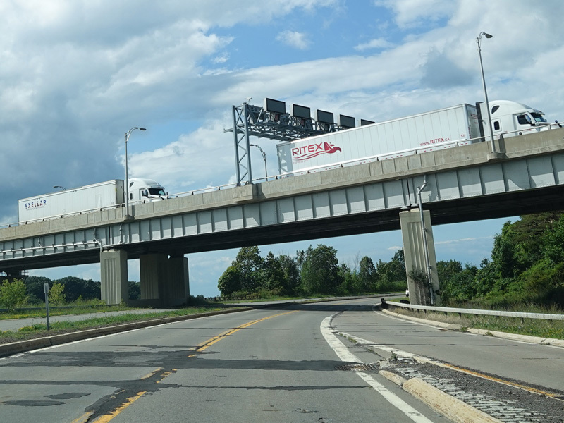
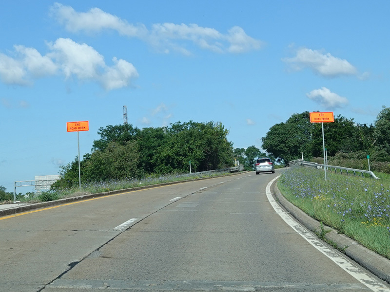
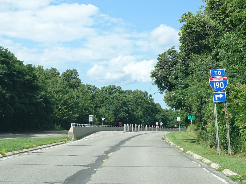
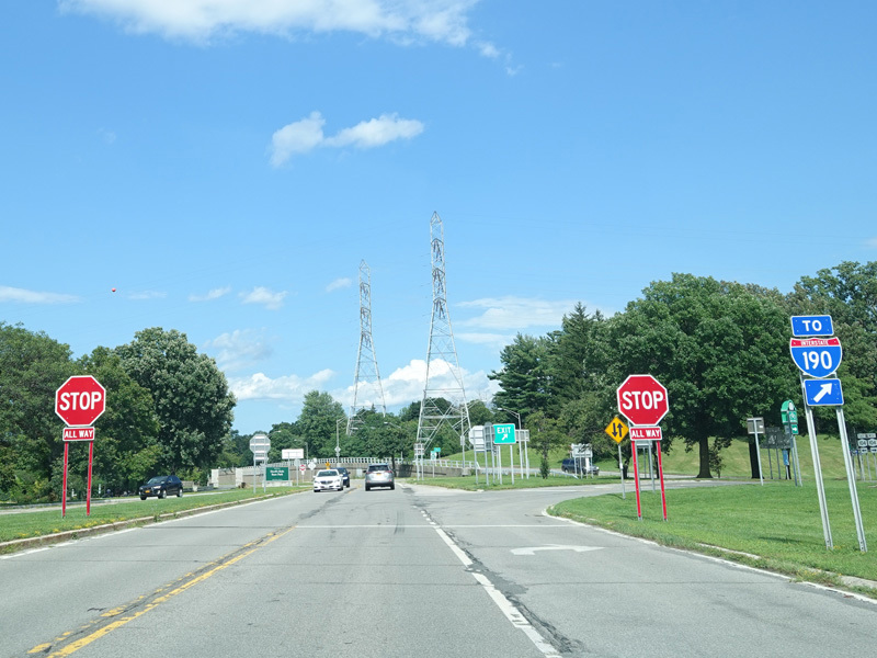
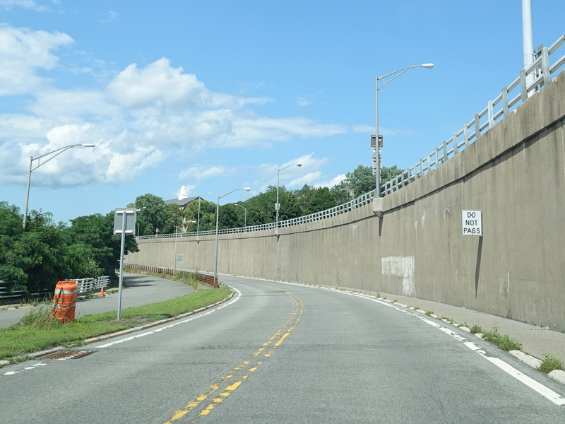
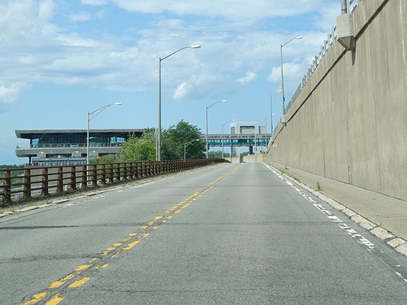
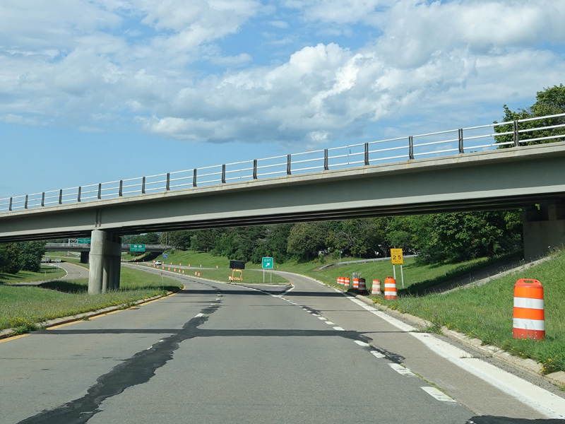
The Lewiston-Queenston Bridge at the end of the Niagara Expressway (I-190) is visible on the left. The parkway passes under the expressway just before the bridge.
Photos taken July 2023.
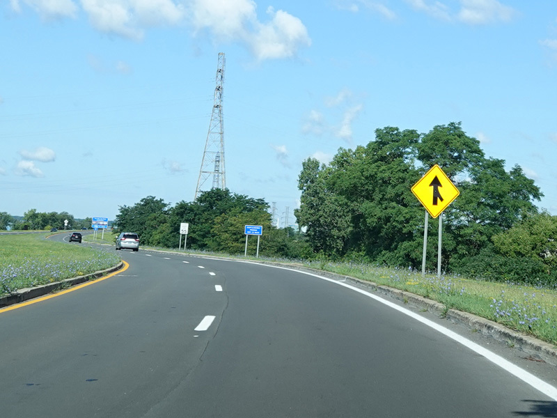
North of the bridge, the parkway widens to become a four-lane divided highway.
Photos taken July 2023.
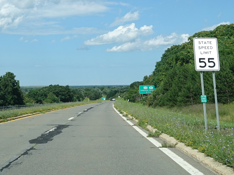
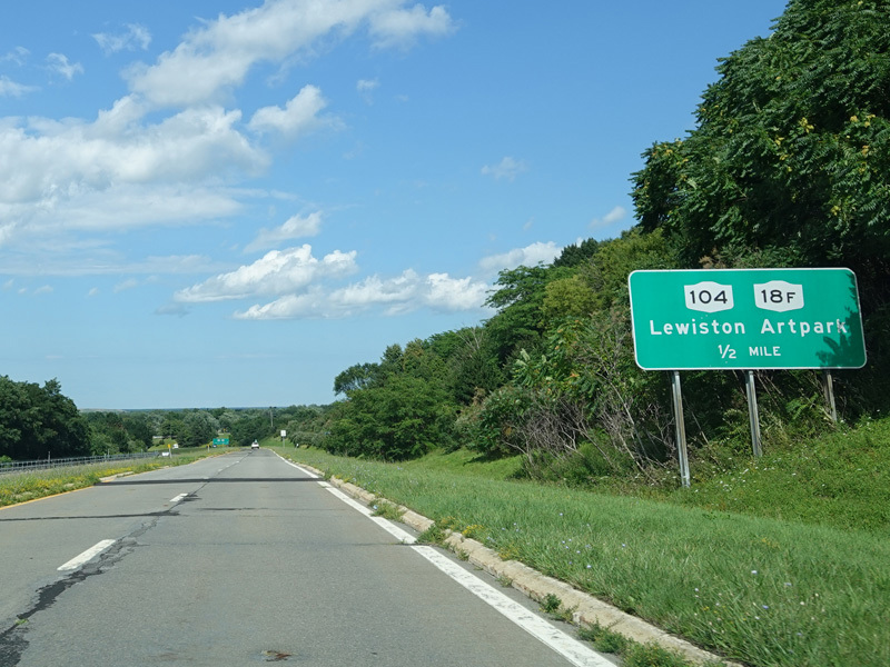
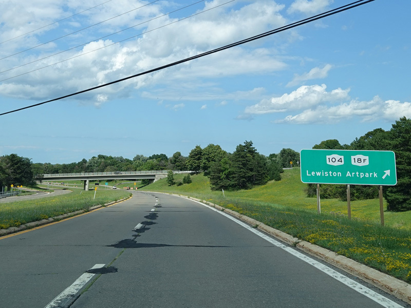
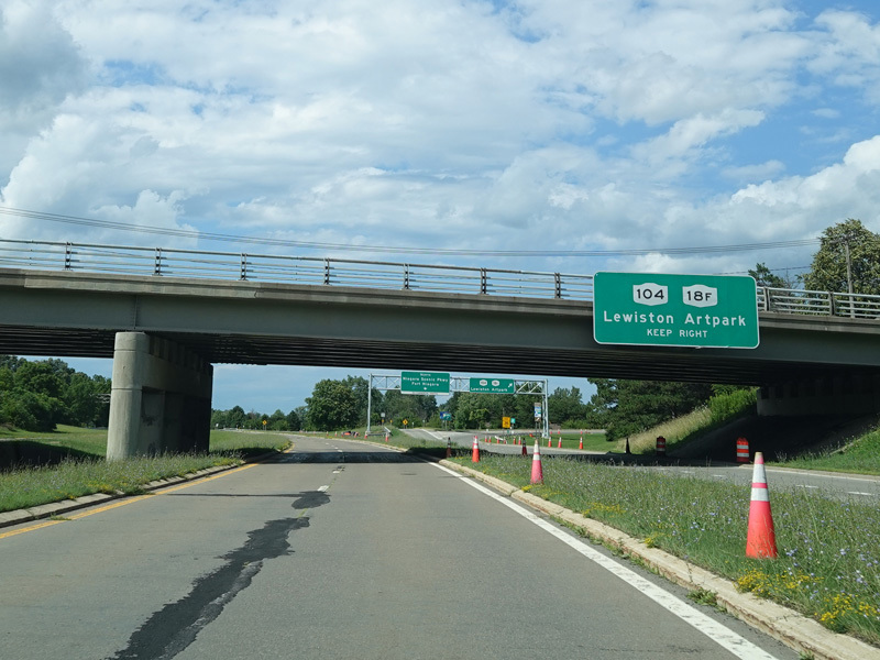
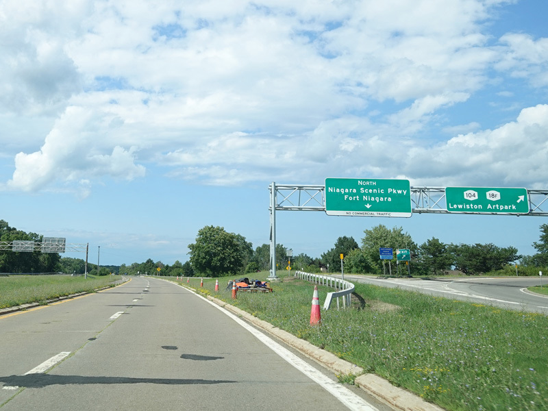
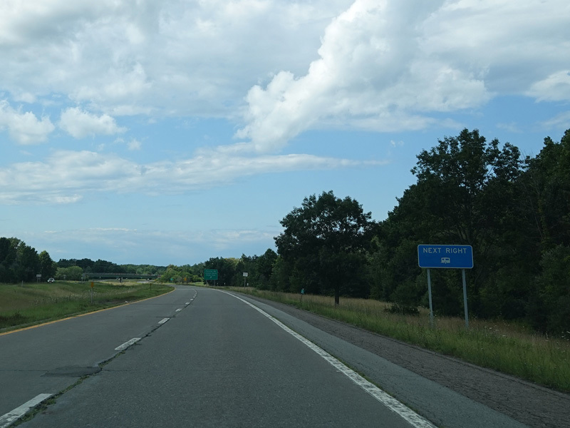
There is an exit for Ridge Road (NY 104) and Center Street (NY 18F).
Photos taken July 2023.
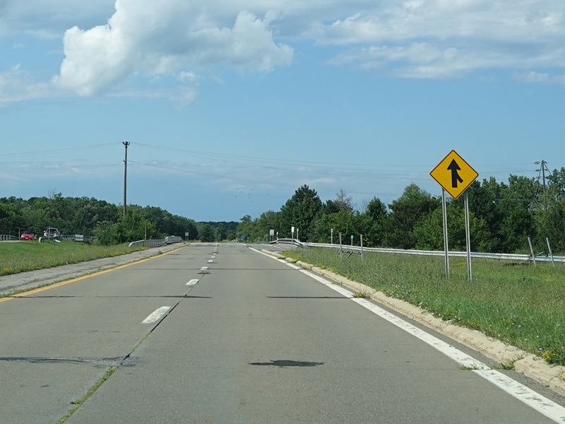
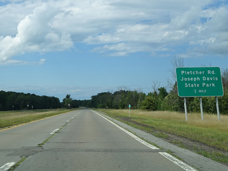
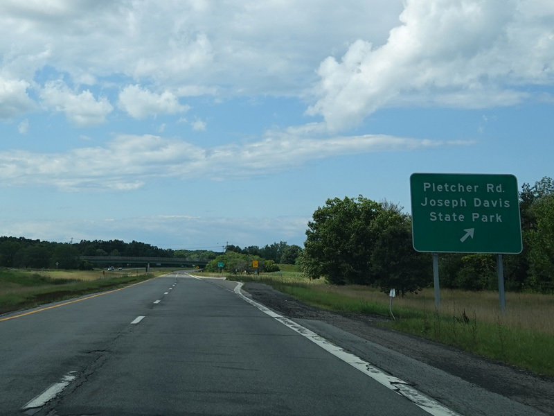
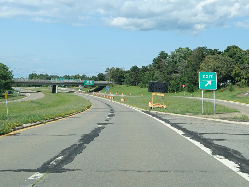
There is an exit for Pletcher Road.
Photos taken July 2023.
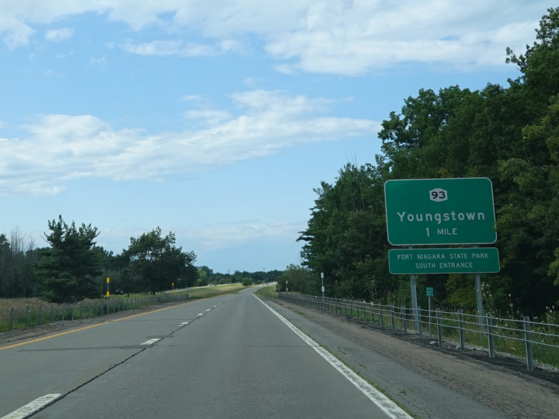
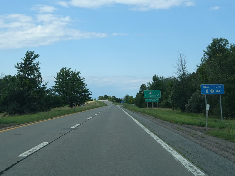
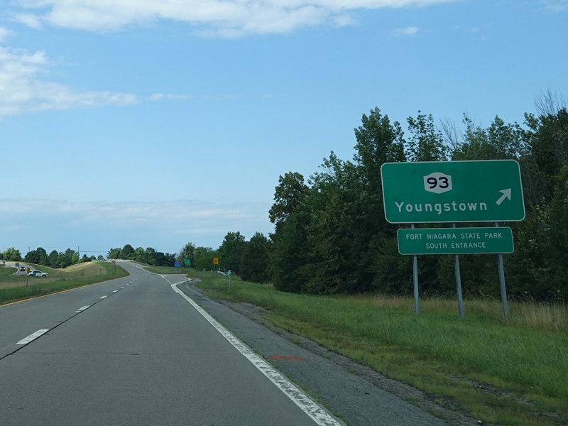
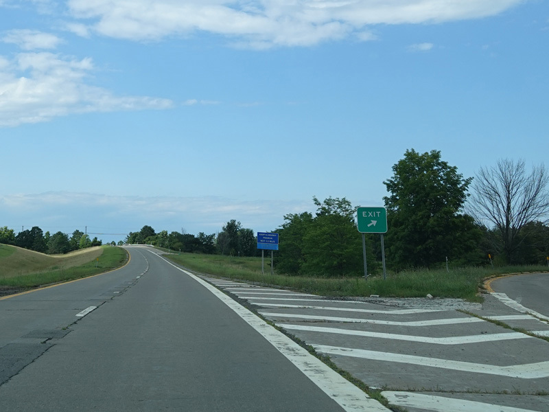
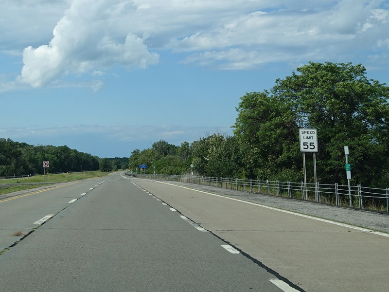
There is an exit for Lockport Street (NY 93).
Photos taken July 2023.
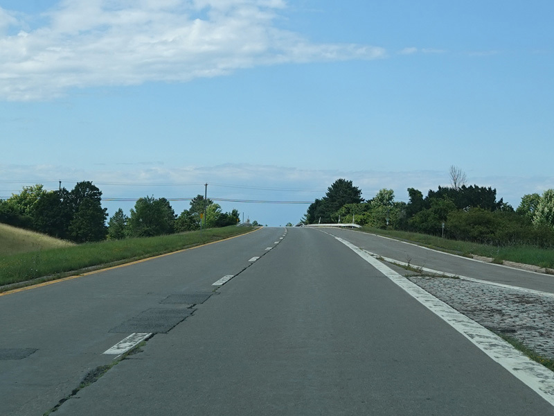
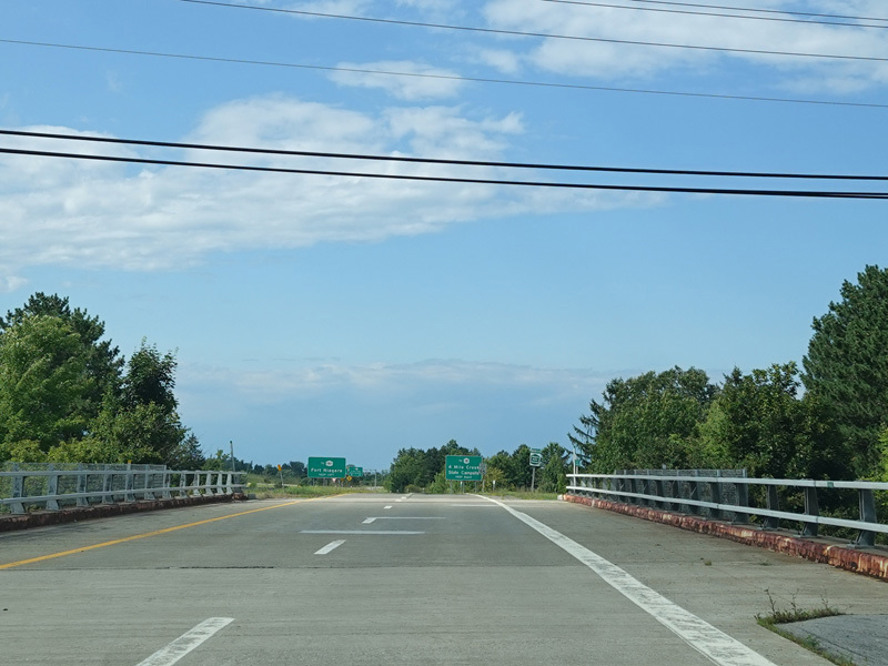
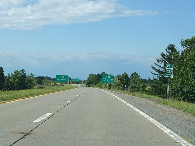
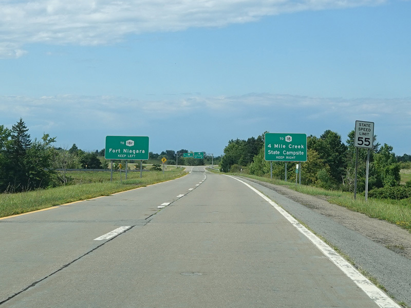
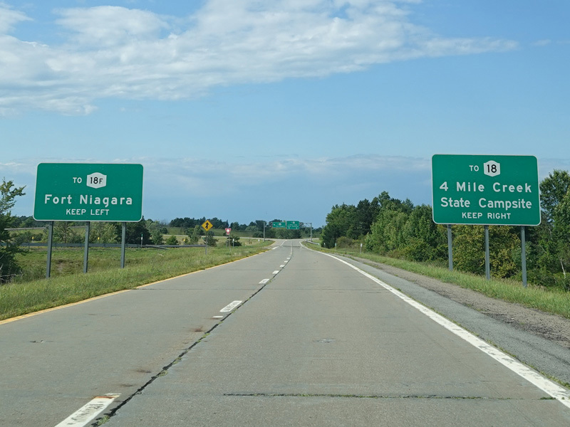
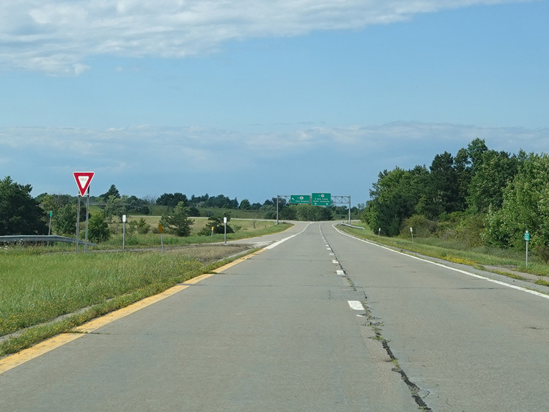
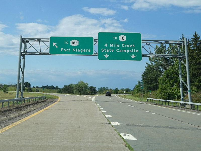
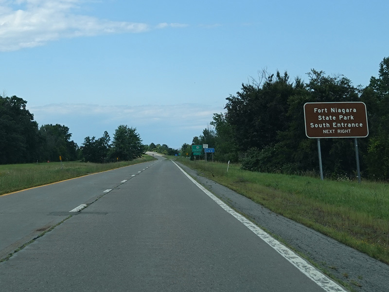
The parkway splits here. Bear left for the spur toward NY 18F and Fort Niagara State Park. Bear right to stay on the mainline of the parkway toward NY 18.
Photos taken July 2023.