
- Direction:
- North/South
- Southern Terminus:
- Niagara Expressway (I-190) in Niagara Falls
- Northern Terminus:
- Lake Road (NY 18) in Youngstown
- Distance:
- 19.42 miles
- Counties:
- Niagara
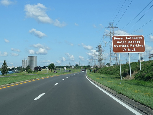
The Niagara Scenic Parkway is a north/south highway running along the Niagara River and providing access to the various state parks in the Niagara Falls area. It begins at the Niagara Expressway (I-190) just north of the North Grand Island Bridge and runs west along the river to a traffic circle at John B. Daly Boulevard and the entrance to Niagara Falls State Park.
The highway was originally continuous, but the section within Niagara Falls State Park has been removed. There are signs directing motorists wishing to follow the parkway to follow NY 384 and NY 104 to Third Street, which becomes Whirlpool Street. The northern section of the parkway begins at the intersection of Whirlpool Street and Findlay Drive. At first, the northern section of the parkway is a super-2, but it widens to four lanes and becomes a divided highway again after crossing the Niagara Expressway (I-190) near the Lewiston-Queenston Bridge to Canada. It continue north to Lake Ontario, where it curves to the east. There is a short spur from this point to Fort Niagara State Park. The parkway runs east a short distance to Four Mile Creek State Park and then ends at Lake Road (NY 18).
The Niagara Scenic Parkway was originally known as the Robert Moses Parkway. It was renamed in 2016 in order to be more helpful to tourists and reflective of where the parkway goes.
| Photo Gallery |
|---|