- Direction:
- East/West
- Western Terminus:
- Niagara Street (NY 384) in Niagara Falls
- Eastern Terminus:
- NY 13 in Altmar
- Distance:
- 182.31 miles
- Counties:
- Niagara, Orleans, Monroe, Wayne, Cayuga, Oswego
- Signed:
- Yes
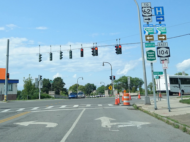
NY 104 is a major east/west route in Western New York. It begins at Niagara Street (NY 384) in Niagara Falls, just east of the Rainbow Bridge. It runs north along First Street, Main Street, and Lewiston Road, passing through an interchange with the Niagara Expressway (I-190) at its last exit before crossing into Canada. A short distance thereafter, Lewiston Road ends at an interchange with the Niagara Scenic Parkway and turns east onto Ridge Road.
NY 104 is known as Ridge Road for most of its length. In the Rochester area, it becomes a highway known as the Keeler Street Expressway between NY 390 and NY 590. East of NY 590, it changes names to become the Irondequoit-Wayne County Expressway, crossing Irondequoit Bay on the Irondequoit Bay Bridge. A short distance thereafter, the expressway section ends and NY 104 becomes a surface road again. It eventually curves to the north and then back to the east to pass through Oswego. Shortly after crossing I-81, it ends at NY 13.
NY 104 was originally designated US 104 but was demoted to become a state route. Going even further back, the NY 104 designation was previously used for Rockaway Boulevard and Rockaway Turnpike (Nassau CR 257) on Long Island.
| Photo Gallery |
|---|